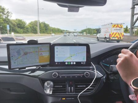
Over the last year, urban air quality has become an international talking point, with particular emphasis being place on the issues of vehicle-generated pollution on public health. With many local authorities across the UK and Europe looking at the introduction of low emission zones (LEZs) as a possible solution, TTT.com has covered projects that are studying air-quality monitoring and the control/enforcement of LEZs through ‘geofencing’ and similar technologies.
Several of these projects have involved EarthSense Systems, a joint venture between aerial mapping company Bluesky and the University of Leicester, including: The development of a system to automatically activate zero-emission running of hybrid electric vehicles along heavily polluted city streets; Project ACCRA – collaborative research to trial the use of ‘geofenced’ hybrid trucks to demonstrate real-time emissions control, using live air quality data; and Research considering the economic effectiveness of different schemes to reduce urban air pollution, with trees revealed to be the most cost-effective solution.
To follow up on these stories TTT caught up with EarthSense’s commercial director, Donna Lyndsay, and asked…
What challenges do low emission zones present for traffic managers, and how are they best overcome?
Low emissions zones are a real challenge for traffic managers, outside of London how these are to be implemented is still up for debate. Charging is the least favored option by government, which means traffic managers will have to get creative in how they plan for, and enforce, their low emission zone.
Which countries / cities do you see as the key growth areas for low emission zones?
France, Belgium, Germany and the UK. The BRIC’s countries (Brazil, Russia, India, and China) are also rapidly developing strategies to address their air quality.
What is the most effective method of enforcing low emission zones?
Creating a charging zone is considered to be effective, but in reality, it’s a mixture of approaches that will be most effective. Through changing congested routes and rerouting traffic away from sensitive sites (such as schools and hospitals) will be beneficial to the population, controlling traffic lights based on pollution build up so traffic is freer to move, and increased clean public transport or cycling will all have an impact. But all needs to be well considered and planned using best available information sources and evidence, without understanding what is happening or the impact of interventions, it is possible to make things worse (e.g. speed bumps). This is exactly what EarthSense has been set up to do; provide evidence based insights into air pollution, and to enable decision makers understand the implications of interventions.
Will the introduction of low emission zones actually make a tangible difference to urban air quality?
Only if well planned, implemented and managed.
What are the most cost-effective ways for cities to combat urban air pollution?
The key is really to understand where the problems are first through good data, and then model the interventions to assess what the impact will be. Then they must ensure independent and transparent data capture going forwards to monitor the air pollution. Without that approach some expensive mistakes can be made, such as routes in the wrong place or misleading information that can lead to erroneous estimates and more pollution (e.g the vehicle emissions scandal).
TTT then asked the company’s technical director, Professor Roland Leigh:
How will air quality data impact on the planning and design of future city development projects?
Air quality information needs to be a significant consideration in future city design. As a society, we need to consider the pollution-emitting sources within our urbanized environments, and the potentially vulnerable individuals who may experience detrimental health effects. We understand these linkages better than ever before, and we now have the technology to comprehensively predict key impacts of design choices. For example, EarthSense’s FluidAir has the capacity to model proposed new building shapes to determine, with high sensitivity, changes in pollution dispersion and concentrations. This functionality could be used by all future architectural developments around sensitive populations.
The same functionality can also be applied to urban ‘greening’, providing assessments of the impacts of trees, hedges, and green walls. Once we have applied such strategic thinking to our urban planning, we need to consider the dynamic decision-making tools we can implement (for example, real-time traffic management based on air quality information), and how this might change our street layouts and wider transport infrastructure. Our cities are full of potential refinements we can make to improve the health of future populations.
By Adam Frost


