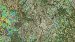
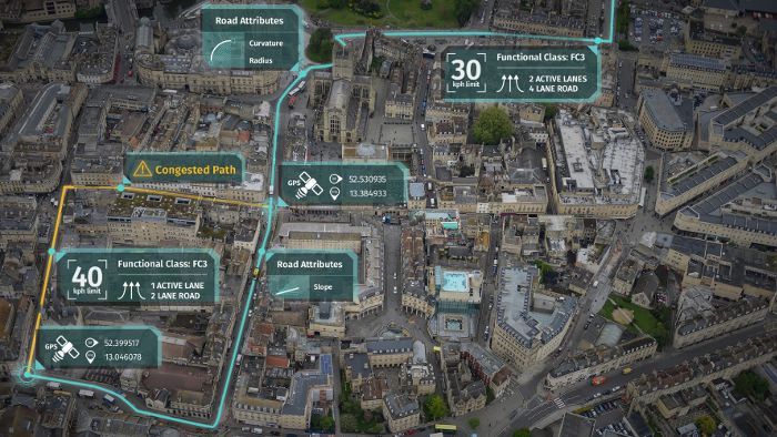
Mapping and location platform services company Here Technologies has renewed its satellite imagery contract with Maxar Technologies Inc., a global technology innovator powering the new space economy, with the data used for the global production of Here’s in-car navigation maps.
A major optical imagery customer since 2015, Here has also presented Maxar with its 2019 Americas Region Most Innovative Supplier Award. Under the new contract, Here will make use of Maxar’s satellite-derived imagery products, specifically Vivid and Metro mosaics, to provide accurate and up-to-date maps for its worldwide customers. Here location technology is used across multiple industries and approximately 80% of the vehicles with embedded navigation systems sold in North America and Western Europe are equipped with the company’s map data on board.
Maxar’s Vivid and Metro products provide high-quality satellite image layers updated annually with industry-leading 19.7-inch (50cm) resolution coverage globally and 12-inch (30cm) resolution coverage of major cities around the world. Here will also incorporate these global maps, derived 2D and 3D features and location intelligence information into their connected autonomous vehicle (CAV) program and other mapping applications across many customer segments. Maxar’s imagery will provide an accurate, foundational data layer in these innovative, map-based applications. A trusted partner in over 30 global locations, Maxar provides integrated capabilities and expertise including advanced space technology systems, satellites, Earth imagery, robotics, geospatial data and analytics.
“We are proud to award Maxar our Most Innovative Supplier Award,” said Jeff Amsel, vice president and head of global sourcing at Here Technologies. “Maxar’s high-quality satellite imagery supports our core mapping mission for in-car navigation systems and our development of autonomous vehicle technology.”
Maxar’s chief product officer, Jeff Culwell, commented, “Winning the Here Most Innovative Supplier Award is an honor as it validates the value our industry-leading geospatial data brings to our customer’s most critical business objectives. Here’s mapping applications enable people to navigate the world no matter how quickly it changes, and we are proud to play a key role in the development of that technology.”


