Flow Labs has entered a new data partnership with AirSage, Inc.
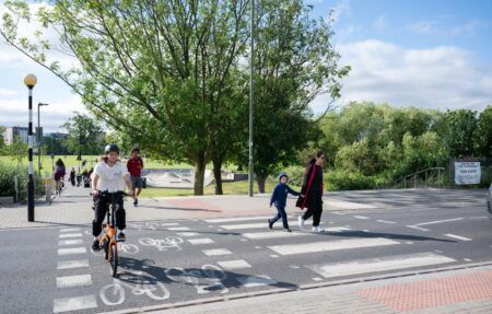
The new alliance will bolster Flow Labs’ vulnerable road user safety data, providing the platform with location-based service (LBS) information including population analytics, movement patterns, and key safety insights for protecting pedestrians, bicycles, and more.
The Flow Labs platform uses AI to integrate LBS data and pedestrian push button data with connected vehicle (CV) data. This integration allows traffic engineers to access a wealth of information to identify high-risk areas, analyze pedestrian volume, and assess conflicts with vehicle movements.
“Vulnerable road user safety is a critical concern for traffic engineers and road agencies, and until now, they lacked the tools to identify problem areas effectively,” says Jatish Patel, CEO and founder of Flow Labs. “Our partnership with AirSage provides us with top-tier vulnerable road user location data, enabling the Flow Labs platform to accurately pinpoint high-risk safety areas for pedestrians and bicycles, ultimately helping agencies meet their safety goals.”
AirSage collects over 100 billion GPS data signals monthly from more than 200 million mobile devices, all obtained with “opt-in” consent from users who have consciously chosen to share location data.
“AirSage is thrilled to partner with Flow Labs. Our industry-leading mobility data has been trusted for more than 20 years so it is very well suited for this application. We are excited to see how our data can help all transportation planners and agencies make smarter, quicker decisions using the Flow Labs platform,” says Jonathan Silverberg, CTO and co-president of AirSage.
Flow Labs hardware-free platform takes a proactive approach to safety by leveraging AI technology to detect patterns, analyze trends, and provide actionable insights that allow traffic engineers to implement preventive measures and prioritize resources effectively across entire regions. This process accelerates pedestrian safety studies by months, enabling agencies to quickly and accurately identify and address the highest risk areas across their roadways.
“We need to move beyond flawed and outdated safety data collection methods to protect lives,” Patel adds. “By integrating Airsage’s data into our other streams, we now have the most advanced tools to identify problem areas for vulnerable road users, so traffic managers can implement solutions to prevent crashes before they occur.”
Photo: AdobeStock


