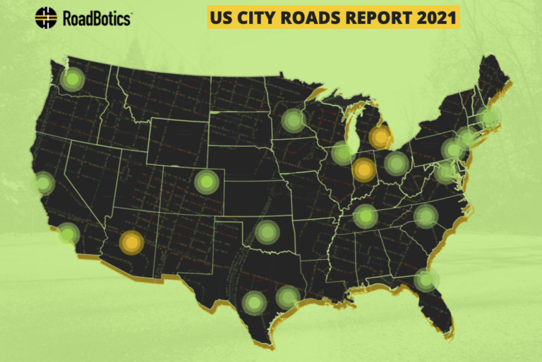
Asset management innovator RoadBotics has just released an interactive report featuring 75 miles of pavement condition assessments for each of 20 major metropolitan cities in the USA, with road ratings and high-definition imagery
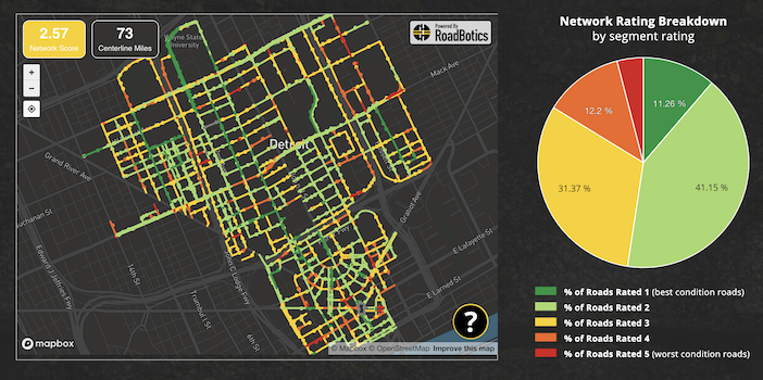
RoadBotics U.S. City Roads Report allows visitors to click on each city to see the overall network score of the 75-mile assessments and and interactive map with images and ratings. They can also virtually drive down any of the roads and view the network rating breakdown by segment showing what percentage of roads were rated best to worst.
The cities assessed, in alphabetical order, were Boston, Charlotte, Chicago, Columbus, Denver, Detroit, Washington, D.C., Houston, Indianapolis, Jacksonville, Los Angeles, Minneapolis, Nashville, New York City, Oklahoma City, Philadelphia, Phoenix, San Antonio, San Francisco, and Seattle – with nearly 1,500 miles of assessment in total across them.
As a part of the RoadBotics US City Roads Report, RoadBotics CEO Ben Schmidt, provided his insight around what the data indicates and how he thinks we can solve the infrastructure issues our country is facing.
“Maintaining infrastructure is much less flashy and far less interesting than building brand new infrastructure; however, better maintenance is the key to improving our grade,” he shares.
To complement the Report and article, RoadBotics asked infrastructure leaders from the education, engineering, construction, and technology sectors what recent innovation they think has had or will have the biggest impact on infrastructure. Their answers are presented as short videos.

RoadBotics has also made the US City Roads Report’s open data set available for download, believing technology and data will help improve infrastructure prioritization and spending, in addition to generating enthusiasm for innovation.


