Geospatial data solutions company Cyclomedia is using the TRB Annual Meeting in Washington DC this week (January 5-9) to unveil its new integrated pavement and assets data platform.
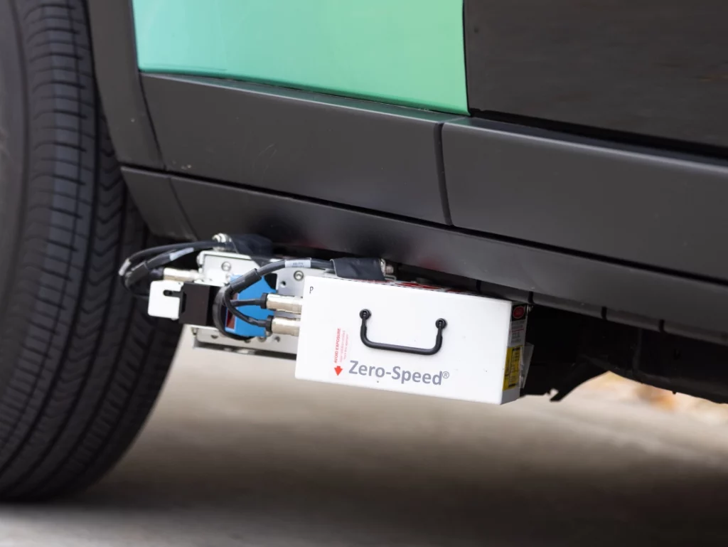
Cyclomedia’s innovative solution simplifies the complex process of collecting and analyzing roadway data. Combining Cyclomedia’s patented DCR-10 mobile mapping system, SSI’s Zero-Speed Inertial Profiler, and Pavemetric’s LCMS-2 3D laser system, the new unified platform provides the highest level of precision, efficiency, and compliance for road condition assessments.

This ensures agencies are equipped with the tools to monitor and manage infrastructure more effectively, ultimately improving road quality and safety.
The DCR-10 mobile mapping system uses five high-resolution cameras and a multi-laser lidar sensor to capture 360-degree panoramic imagery and precise lidar data. This delivers highly detailed, geocoded “GeoCycloramas” for unparalleled accuracy.

When combined with SSI’s Zero-Speed Inertial Profiler, the system ensures gap-free, high-resolution International Roughness Index (IRI) data, even in challenging conditions such as stop-and-go traffic or tight curves. This innovation significantly enhances the ability to monitor, assess, and report pavement conditions for every inch of your road network.
“Traditional inertial profilers have data gaps at low speeds, and report elevated IRI values when the collection vehicle is accelerating, decelerating or going around tight curves. We chose the SSI Zero Speed inertial profiler because it is a Class 1 profiler that doesn’t have those issues,” says Larry Mattke, Cyclomedia’s senior technical lead for pavement. “This allows us to produce highly accurate and complete longitudinal profile data everywhere.”

In collaboration with Pavemetric’s LCMS-2 3D laser system, Cyclomedia’s solution offers advanced analytics that help identify key pavement distresses — such as cracks, rutting, and joint faulting. The system automates distress classification, streamlining inspections and ensuring data accuracy.
Cyclomedia’s Street Smart SaaS-based viewer application also provides a powerful, user-friendly interface for visualization and long-term tracking of pavement conditions. Key features include:
- Spatially aware, actionable insights for efficient decision-making
- Advanced GIS integration via Esri for enhanced data analysis
- API integrations to customize workflows and integrate seamlessly with existing systems, such as Asset/Pavement Management
Certified to meet AASHTO and ASTM standards, Cyclomedia’s system is fully compliant with FHWA Highway Performance Monitoring System (HPMS)requirements. Sensor packages have earned certification from the Illinois Certification and Research Track (ICART) for AASHTO R56, ensuring that transportation agencies can trust the data for reporting and decision-making.


