Landmark Solutions, part of Landmark Information Group, has been awarded a multi-year contract by the UK’s national mapping agency, Ordnance Survey (OS) to manage road routing restriction changes to the country’s network of roads.
Landmark will review and validate up to 210,000 miles of road network for road routing intelligence, using its extensive data expertise and Artificial Intelligence (AI) capabilities, to ensure OS products include new and amended restrictions that face road-users across the country. The company is anticipating that it will report approximately 100,000 road restriction updates every year. Landmark’s AI algorithms automatically learn classifications, based on previous observations, meaning it identifies associations between text, geographic data and other sophisticated data points to intelligently predict routing restrictions without relying on manual intervention.
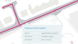
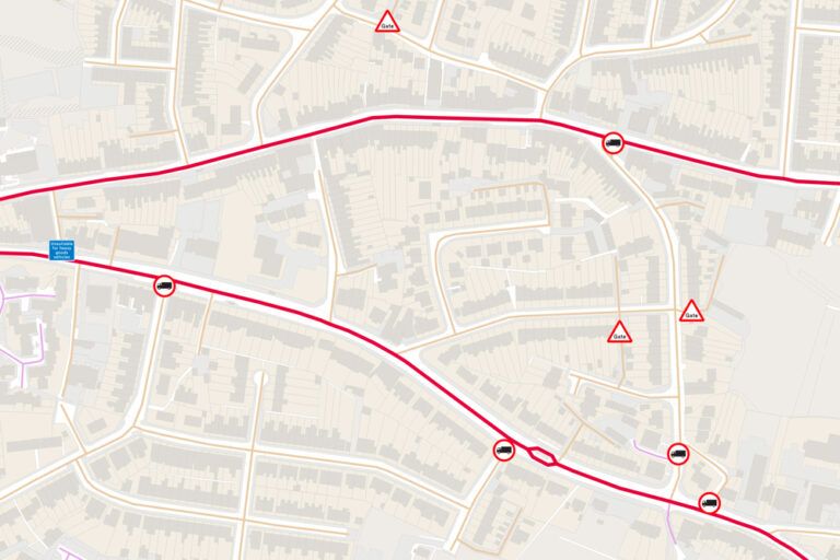
Intelligence on new or amended road routing features is essential for OS to update and maintain its databases and products, which are used by the vast majority of the UK’s national, regional and local authorities. The road routing restrictions will include updates relating to height, length, weight and width restrictions, changes to level crossings, road access for vehicular traffic and changes to one-way routes. Landmark has modelled over 40 data parameters to extract the road routing intelligence classification and locations, to ensure the most accurate outputs for OS. Landmark Solutions has over 20 years’ experience in exploiting and commercializing geospatial data, and is already the Ordnance Survey’s largest partner. The Landmark group manages over 350 national datasets from 650 suppliers, delivers over two million maps per week, and matches 10 million addresses every year.

“Ordnance Survey collects and maintains geographic information which underpins the production of some of the most detailed and frequently updated mapping in the world,” said Chris Brackley, managing director of Landmark Solutions. “This new contract reinforces our existing partnership with OS and, using our extensive geospatial data management expertise and AI capabilities, we are able to intelligently predict where road restriction changes have occurred. This supports OS’ existing ground surveying teams and will ultimately ensure the very latest data is included in its range of mapping products and services.”
Dan Dukes, director of operations at OS, said, “At OS we continually work on new processes for data capture to make sure our products contain the most up to date information. It is vital our customers have access to reliable and trusted location data to support their own products, services and decision making. The new agreement to use Landmark’s data intelligence will be of great benefit to a range of customers who use highway and road data, including the delivery and haulage industry, public transport providers, and the emergency services. It will edit and validate updates to our data sets for Britain’s road network very quickly, which will be of significant advantage to our customers, and will support all on-going changes provided by our national network of OS surveyors.”


