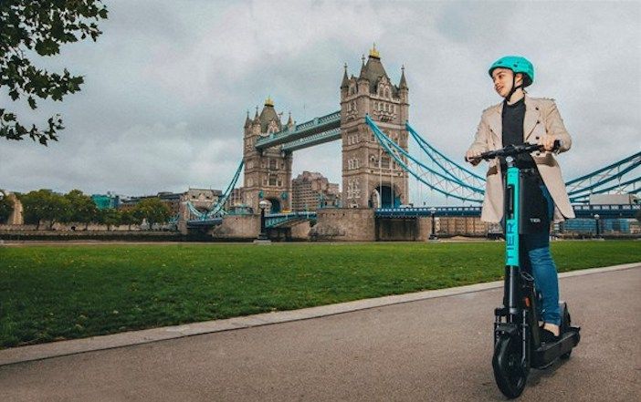
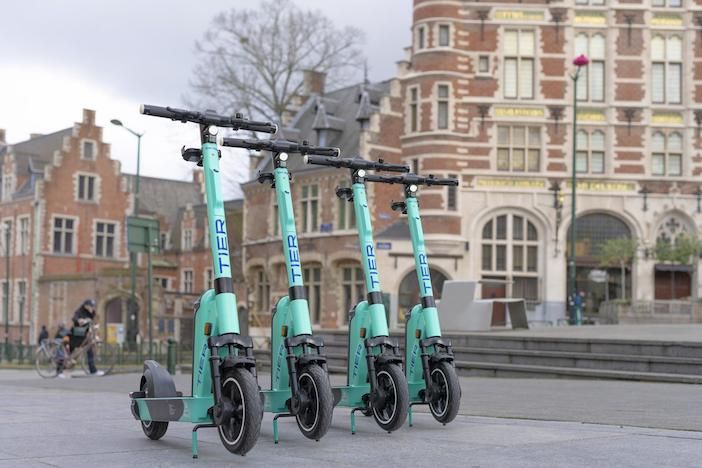
Tier vehicles including e-scooters and e-bikes are now available as a transport option through Google Maps in more than 200 cities, meaning even more riders will be able to easily access green transport options and plan routes with sustainability in mind.
The collaboration between the world’s leading shared micro-mobility provider and Google means that riders will be able to locate nearby Tier vehicles when searching for directions on the Google Maps app. They will also have access to information like the walking distance from the vehicle, its charging status, a cost estimate for their journey, and an anticipated destination arrival time.

Having already successfully partnered with Google Maps in numerous cities across Europe including in Germany, France, Austria, Switzerland, Norway, Sweden, Finland, Italy, The Netherlands, Belgium, Poland, Hungary and the United Kingdom, Tier is now expanding its Google Maps offer to more than 200 cities, including locations in Israel and Ireland for the first time.
Under the tab for cycling directions, users can find the Tier option alongside ‘your bike’. By clicking on the Teir button, Google Maps shows the nearest available Tier e-scooters and e-bikes. To start the ride, users are then redirected to the Tier app.
“For many people the first hurdle to adopting micromobility is discovering how easily it can fit into their daily lives,” says Alexander Sprey, senior manager for market development and partner strategy at Tier Mobility. “With the expansion of our Google Maps partnership we can support more people around the world to easily plan their routes, access our vehicles, and reduce their carbon footprint by changing the way they move around.”


