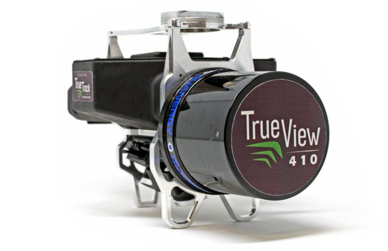
Lidar (Light Detection and Ranging) sensors and smart sensing solutions developer, Quanergy Systems Inc., has revealed that its M8 lidar sensor has been selected for integration into GeoCue’s True View 410 drone mapping system.
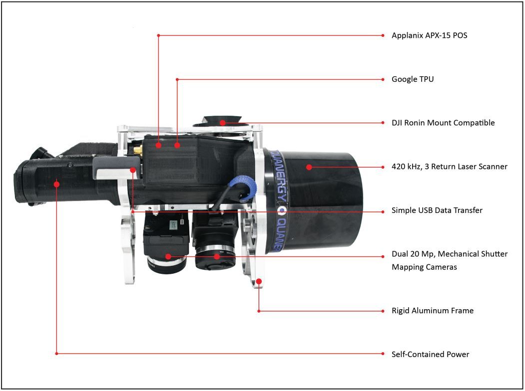
An experienced developer of geospatial hardware and software systems, in 2014, GeoCue Group Inc. started a division focused on using small UAS (Unmanned Aerial Systems) and low-cost drones for high accuracy mapping. Unveiled by the company in June 2019, the True View 410 is a fully integrated drone lidar/video fusion sensor system that includes all the software required for data post-processing as well as final product creation. Featuring Quanergy’s M8 lidar sensor, dual GeoCue mapping cameras, and an Applanix Position and Orientation System (POS), the drone produces high-accuracy 3D colourised lidar point clouds.

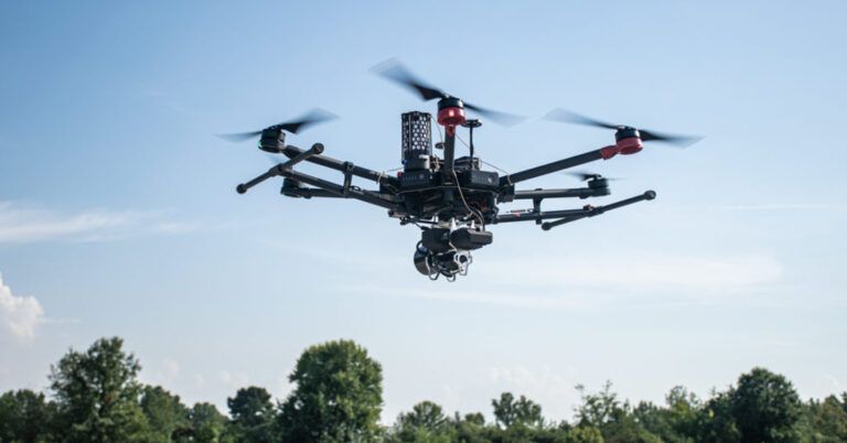
Suitable for multiple airborne survey work applications including highway and infrastructure monitoring, the True View 410 system provides high-efficiency 3D colour mapping with vegetation penetration in a payload package of just 4.8lbs (2.2kg), and is available for purchase or through a subscription-based rental program.
Quanergy is a leading provider of lidar sensors and perception software for real-time capture and processing of 3D spatial data and object detection, identification, classification and tracking. Its sensors are disruptive in price, performance, reliability, size, weight and power. Its systems are used in numerous sectors including transportation, 3D mapping, mining, agriculture, and robotics.
The company’s M8 unit is an industry-leading lidar sensor for mapping applications. In testing multiple sensors for the True View system, GeoCue selected the M8 Ultra because of its superiority in range, point cloud density, and accuracy. The sensor has a 120-degree field of view and the True View Evo software system has a processing time of 8 minutes for a typical 50-acres site from data ingest to final 3D colourised point cloud. Data collected from the True View system were generated from three returns at 230 feet (70m) and clipped to +/- 40 degrees in the air with an accuracy of better than 2 inches (5cm) RMSE (root-mean-square deviation).

“Together with GeoCue, we have developed one of the most sophisticated mapping systems on the market,” said Enzo Signore, CMO of Quanergy. “This dual lidar and camera mapping technology has the capability to produce detailed 3D colour map images that rival photographs, yet provide surveyors with the 3D data points needed to make informed decisions.”
Lewis Graham, president and CTO of GeoCue, commented, “We evaluated a series of sensors from lidar manufacturers for our general-purpose 3D imaging sensor and none provided the range and accuracy that we saw from the Quanergy M8. The M8 gives our True View system a clear advantage within the industry, and has allowed us to offer our customers the ability to capture incredible detail, from layout to elevation, for their mapping projects.”


