To improve safety at highway projects across the state, researchers at the University of Minnesota (UMN) are working on a tagging and mapping system that can efficiently gather information about the layout of work zones, perform remote inspections, and disseminate warnings to drivers.
The goal of the UMN’s Statewide Work Zone Information System (SWIS) is to serve as a real-time database of active work zones from the moment the first advanced warning sign is placed to the time crews pack up. The development of the SWIS is the third component of an interdisciplinary effort funded by the USDOT’s Roadway Safety Institute to investigate the effectiveness of using in-vehicle messages to improve drivers’ understanding of work zones and reduce risky behaviour. The first component was a human factors study to identify the most effective way to alert drivers to work zones without disrupting their driving tasks; the second component sought to determine whether Bluetooth tags could be deployed in work zones to provide real-time updates to drivers’ mobile phones through an app.
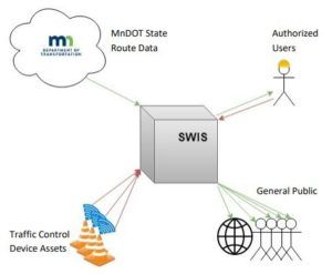
One key aspect of the new SWIS is that it requires no extra effort from highway road crews. The system uses traffic control devices, known as ‘assets’, outfitted with tracking beacons to determine their locations and movement throughout the work zone as they are laid out. Then, the system uses algorithms to determine where a work zone is located and update its information in real-time. In addition, the SWIS can determine whether a work zone is fully set up and flag it for inspection when it is ready. The inspection algorithm checks whether the work zone is in compliance with the FHWA’s Manual on Uniform Traffic Control Devices (MUTDC) layout guidelines or planned project layouts—if it is, no manual inspection is needed.
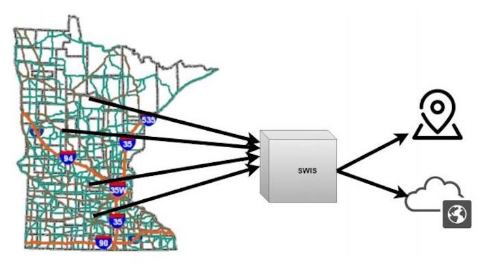
The information collected by the SWIS is designed to be available to both highway crews and the general public through an online interface. The digital map allows users to search for work zones that are currently active and look for past or planned projects. In addition, users with more advanced permissions can create or update projects through the SWIS web interface. The UMN research team plans to conduct more field testing with the SWIS to prepare it for use around the state. When active, researchers expect it will be a valuable support technology for drivers that will help reduce incidents in work zones and allow for the monitoring of work-zone activity and compliance while limiting the need for physical site visits.
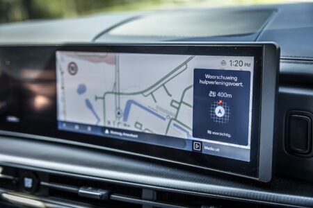
“We know that speeding and driver inattention are the two main causes for single-vehicle crashes in Minnesota,” explained John Hourdos, director of the UMN’s Minnesota Traffic Observatory and the project’s principal investigator. “Work-zone locations are especially sensitive to these two factors because the vast majority of drivers are required to adjust their speed and their course due to changes in road geometry. In addition to improving safety, the SWIS could play a vital role in future connected and automated vehicle applications by providing accurate, up-to-date information on work-zone layouts and conditions to in-vehicle information systems.”


