Through its partnership with the University of Oklahoma (OU), the Oklahoma Department of Transportation (ODOT) is preparing for winter by offering drivers two new tools to help them make travel decisions.
For several years, the agency has offered a selection of online travel tools that have now been consolidated and made available through the new free ODOT app, which can be downloaded from the Apple App Store.
ODOT created the app in partnership with the Norman Center for Intelligent Transportation Systems at the OU’s Gallogly College of Engineering as part of an ongoing contract for development and support of these online tools. The four online tools available in the new ODOT app are:
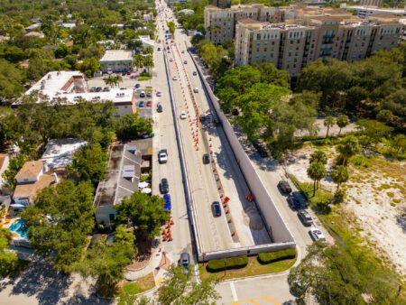
• OKTraffic, which shows real-time travel conditions in the Oklahoma City and Tulsa metropolitan areas and along I-35 and helps drivers spot interstate traffic problems, giving them the opportunity to choose an alternate route;
• The same OKTraffic map also allows motorists to see more than 400 camera views of both metro-area interstates and digital message signs (DMS) with real-time traffic information;
• Traffic advisories are posted to the main ODOT website and motorists can also sign up for these messages to be sent directly to their email for particular areas of interest;
• Inclement weather road conditions are posted on an interactive map at the OKRoads website, which features highway closures by both ODOT and the Oklahoma Highway Patrol during snow and ice events.
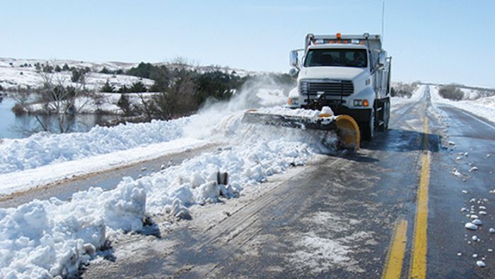
ODOT is also enhancing its OKRoads inclement weather road conditions online map by adding close to real-time snow plow camera views this winter. The new technology represents more than two years of research, design and installation and a nearly US$300,000 initial investment to offer drivers more information when deciding whether to travel and what routes to take during snow and ice events.
This newest feature will add new images approximately every 10 minutes as snow plows work their routes and the images will remain posted for up to an hour, allowing motorists to see a snapshot of highway conditions for themselves. When accessing the online map, motorists can click on any camera icon to pull up the most recent highway image where available.
The new cameras and sensors are installed on nearly 200 ODOT snowplows mostly in rural areas of the state. These will not be installed on Oklahoma City or Tulsa metro area snowplows because motorists already have access to more than 400 camera views of metro-area interstates through OKTraffic, and the urban areas are maintained by local contractors.
The snowplow camera application was developed in partnership with the OU’s Tulsa Intelligent Transportation System Integration Lab. This pilot program is expected to be fully implemented statewide by 2020 at an estimated additional cost of US$220,000 and will provide useful weather condition data to maintenance superintendents to better manage their snow-fighting fleet and material usage.
“The department is debuting the ability to find all of ODOT’s online travel tools within one app and also adding snow plow camera images during inclement weather to its online road conditions map,” said Terri Angier, ODOT spokeswoman. “Making these tools available to the public is part of the department’s ongoing efforts to modernize its communication with motorists.”


