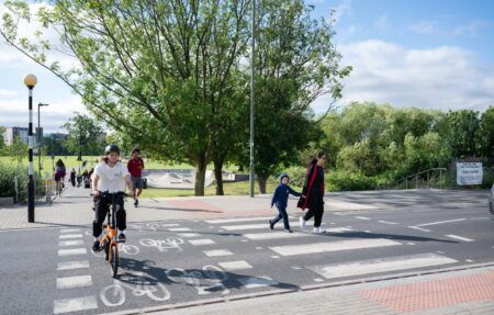
The Australian government is funding a smart city project that will help Liverpool City Council in southwestern Sydney to make better decisions about transport and urban planning by measuring real-time pedestrian and vehicle movements around its central business district (CBD).
The Liverpool project is being funded by the Australian government’s A$50m (US$37.6m) Smart Cities and Suburbs Program, which has already seen A$27.7m (US$20.8m) allocated to 49 projects across the country. The program supports the delivery of innovative smart technology solutions that improve the livability, productivity and sustainability of cities and towns across Australia. Liverpool City Council will work with the University of Wollongong and Meshed, a New South Wales-based Internet of Things (IoT) integration company, to carry out the A$240,000 (US$180,800) project. The city’s Smart Pedestrian Project is designed to help reduce congestion in the suburb, using data collected from pedestrian smartphones and cutting-edge traffic-counting technology to track patterns of movement in a bid to better plan Liverpool and build infrastructure where it is most needed.
“Traffic congestion is a major problem in many of our urban centers, including Liverpool, and this project is a great example of how we can better use technology and data to make our cities better places to live and work,” explained Australia’s Federal Minister for Urban Infrastructure and Cities, Paul Fletcher. “The data Liverpool City Council and the University of Wollongong collect for this project will make a big difference in how we plan transport and pedestrian networks for this city. It’s also a great opportunity for other cities to see how the project rolls out, with a view to adapting the technology to their needs. This project is a great example of how the Smart Cities and Suburbs Program encourages collaboration between local governments, research organizations and the private sector to deliver a solution that can be applied locally and shared around the country.”
Liverpool’s mayor, Wendy Waller, noted, “We call Liverpool the seven-minute city, because that is how quickly you can walk between major landmarks. The number of cranes around the CBD shows how rapidly we are growing, with more housing, offices and educational facilities. The council’s Civic Place redevelopment, which will include the new University of Wollongong campus, is expected to lead to 30,000 extra pedestrian movements per day. We will be using the data to plan future pedestrian and vehicle movements throughout our city to ease congestion, provide better transport options, and improve health and safety.”
The University of Wollongong’s vice chancellor, Pro. Paul Wellings, commented, “It is very satisfying to be able to bring our academic and technological expertise to the partnership. The University prides itself as an institution that retains a strong focus on the communities in which it operates. The collection of data that gives an accurate picture of pedestrian movements will allow the council to plan effectively, and enhance the livability for all in the CBD.”


