The provider of the world’s first open vehicle-to-vehicle (V2V) network for preventing road collisions and enabling autonomous mobility, Nexar, has launched CityStream, a solution that creates digital road maps and captures high-frequency, localized data from the road in real time.
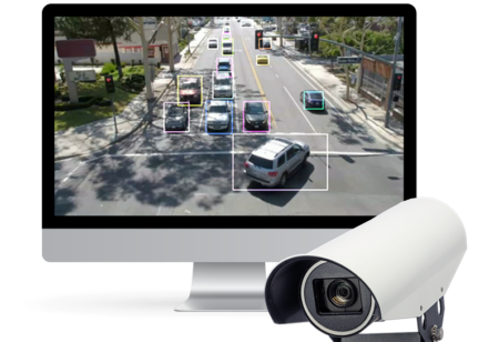
Using the existing Nexar connected-dashcam network, CityStream aims to digitize the public space and open up the company’s car-sourced data to cities looking for actionable insights into traffic patterns, real-time vehicle routing, city dynamics and infrastructure management. Currently, most efforts to gain visibility of a city’s roadways require expensive, stationary hardware that has a limited reach. The Israeli company’s new CityStream platform provides an innovative solution by making use of the smartphones that millions of city drivers already own, and as a result, turning every vehicle into a sensor that visually scans the road providing invaluable insights.
Nexar’s mobile app uses on-device artificial intelligence (AI) to create a digital map to capture the driving scene and produces a low-latency information ‘firehose’ of GIS-tagged objects of road obstacles, traffic conditions, and the state of infrastructure. The company’s approach could dramatically change the economics of smart city projects, significantly reducing the initial cost of deployment, and allowing for the rapid integration of new traffic, navigation and operation applications.
Municipalities and city agencies can benefit from this data in real time by unlocking a variety of applications, such as congestion management, first response management, parking and mass transportation optimization, city sanitation operations, and public safety. A clearer understanding of a city’s traffic landscape also provides valuable navigation insights for fleets and ride-sharing services, as their drivers are dependent on precise routes and optimized estimated-time-of-arrival (ETA) to maximize the efficiency of their driving routes on a daily basis.


