One of the USA’s fastest growing architecture, engineering and geospatial (AEG) consultancies, Woolpert, has been awarded one of three statewide photogrammetry contracts in Pennsylvania to support road engineering design and survey projects.
The Pennsylvania Department of Transportation (PennDOT) has awarded Woolpert a five-year, US$2m photogrammetry contract for geodetic survey and photogrammetric mapping, including stereo-compliant aerial and mobile lidar collections. The company already has multi-year photogrammetry contracts underway with several departments of transportation (DOTs) across the USA, including Florida, Minnesota and Virginia.
Combining leading-edge technology and geospatial applications with a dynamic R&D department, Woolpert works extensively with leading mapping technology partners, such as Google and Esri. From its 25 offices across the USA, the company operates a fleet of planes, sensors and unmanned aircraft systems (UAS) or drones, which are increasingly used on its asset management and infrastructure survey work, due to decreased cost factors over traditional airborne systems.
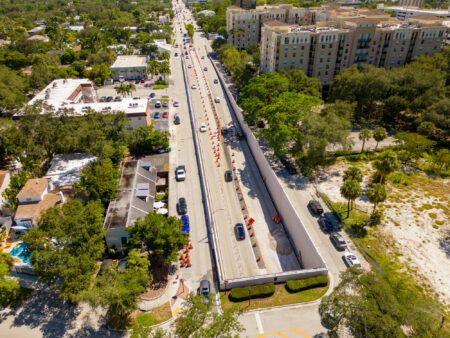
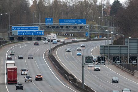
“The services requested under this contract include, but are not limited to, vertical and oblique aerial photography acquisition, aerial lidar and mobile lidar acquisition, geodetic mapping, conventional surveys, Global Positioning System (GPS) surveys, digital map compilation and digital terrain model creation,” explained Mike Zoltek, Woolpert project manager.
“These services will be performed specific to individual projects, along 5-, 10- or 15-mile stretches of road, to support engineering design and survey. We have an experienced team and the capacity to provide the quick turnaround needed.”
Zoltek and fellow Woolpert project manager, Judy Beale, will support these projects for the PennDOT. Beale noted, “One of PennDOT’s biggest concerns is the ability to meet schedules with a quality product. We’re fortunate to understand what’s required with these collections, not only in Pennsylvania, but around the world. We’re excited to be able to provide the most accurate data to fully support their transportation infrastructure.”


