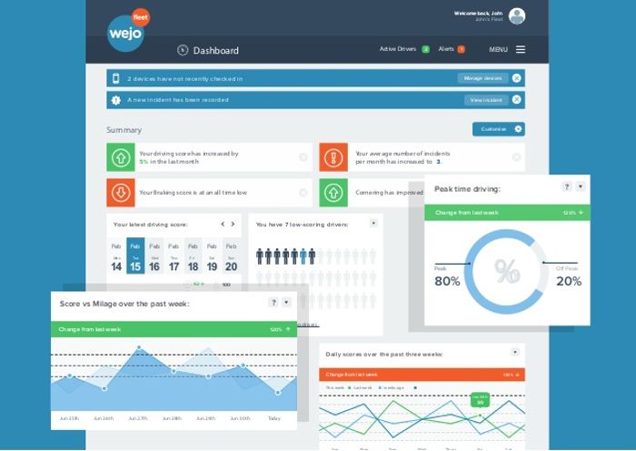
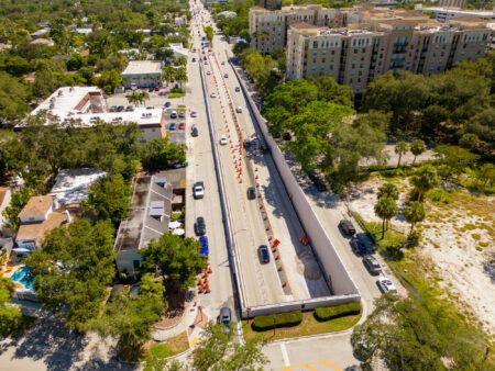
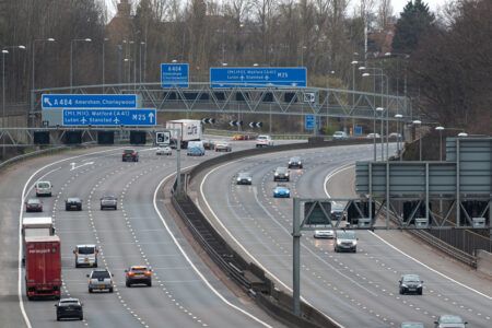
Wejo, a UK technology company developing global mobility services through connected vehicle (CV) data has launched three new products that aim to significantly improve the road experience of drivers, owners and riders in the USA.
Wejo’s in-depth data captured in its new products highlights which roads will slow drivers down, the times of day to avoid the backstreets, and which spots cause the most accidents in the USA. The new products are expected to be used by Departments of Transportation (DOTs), traffic operation centers, smart city planners, governments, local authorities, traffic analysts, highway validation units, traffic modelling experts and fleets, plus traffic app developers.
Wejo’s partnerships within the automotive industry provide it with one of the most valuable data assets in the smart mobility industry. The company is predicting more than 13 million vehicles will be on its platform by the year end, with 95% of its data having a super-fast connection, delivering information from vehicle source to end-user customer within 32 seconds. The products have a high capture rate of 3 seconds per data point, with Wejo capturing approximately 330 billion data points per month. The data is precise to lane-level, with location 95% accurate to within a 10 feet (3m) radius; the size of a typical car.
The three new products are:
- Live Traffic delivers a new perspective on traffic flows. Wejo’s vehicle data is accurate down to intersection level, identifying which roads are congested or clear, including exactly where there is congestion and when. The new granular information allows customers and partners to make better informed decisions by taking the guesswork out of congestion monitoring, toll road use and signaling, using speed and direction of travel to give precise traffic information, in real-time;
- Traffic Intelligence enables end-users to build an accurate, historic view of traffic volumes, exposing underlying patterns in traffic data that are not always visible with current monitoring and measurement technology alone. It helps users understand and manage seasonal traffic trends, model travel times and plan more efficient routing during construction projects or major events. It accurately pinpoints vehicle volumes to identify genuine trends and predict behaviors, and reveals multi-type road traffic performance to reduce the time drivers spend getting to their destination;
- Hotspot Intelligence collates patterns of harsh speeding and braking, helping customers to identify correlations between driver behaviors and incident hotspots. The product enables users to better understand the contextual journeys around hotspots, identifying potential causes and mapping areas with similar driver behaviors and no pattern of incidents over a period of time. The information allows users to take informed actions, such as improving signage, signals and road layouts to make roads safer and less congested.
“Until now drivers have had to rely on relatively basic road traffic and incident hotspot information that has given neither a comprehensive nor real-time view of what’s happening on our roads,” said Richard Barlow, founder and CEO of Wejo. “We have now curated more than 130 billion miles of data, which has unequivocally shown us the positive impact connected vehicles have on solving some of today’s biggest challenges facing road users. Drivers get direct benefits from sharing their data, enabling their journeys to be faster, safer and less polluting.”


