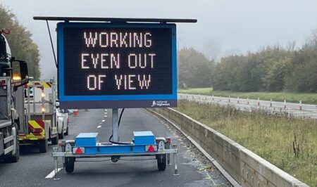
In Australia, the New South Wales Government has further upgraded the real-time traffic information signage across Sydney, as part of its A$225m (US$171m) Pinch Points program, which aims to ease congestion and improve journey reliability on the city’s road network.
The real-time information is displayed on electronic variable message signs (VMS) on major roads across Sydney, with the network now expanded to 42 more locations. The updated technology shows motorists how many minutes it will take for them to reach key landmarks or destinations. The VMS displaying this new travel time information will be located across six corridors: Routes A1 A3, A4, A8, A28, and A40. There are already 91 electronic message signs on Sydney motorways equipped with real-time travel information.
The NSW Government has committed over A$825m (US$627m) to fixing pinch points across Sydney’s road network. The Pinch Point Programs aim to reduce traffic delays, manage congestion, and improve travel times on the city’s major roads, particularly during weekday peak periods. The pinch points are traffic congestion spots, intersections or short lengths of road at which a traffic bottleneck exists, slowing down the broader network. They cause a buildup of traffic and travel delays at these spots and on the wider road network. The methods used to help ease congestion at these pinch points include:
Widening small sections of road or intersection;
Lengthening turn bays;
Adding extra turn bays or turning lanes;
Replacing heavily used roundabouts with traffic signals;
Installing CCTV cameras and VMS to help manage traffic and provide real-time traffic information to motorists to help them make informed travel decisions.
The program aims to:
Improve the operational efficiency of Sydney’s road transport network;
Improve traffic flow and maximize use of road space;
Help ease traffic congestion and improve the consistency of travel times for motorists, particularly during peak hours;
Result in the better management of responses to incidents and planned events;
Improve access of information to motorists while they are travelling on the road network.
NSW Roads, Maritime and Freight Minister Melinda Pavey said, “The initiative will help manage motorists’ expectations and enable them to make better decisions about whether to continue along their chosen path or take an alternative route to reach their destination faster. For example, motorists travelling eastbound from Concord along the Great Western Highway corridor will be able to see how many minutes it will take to reach the Anzac Bridge and Broadway.”


