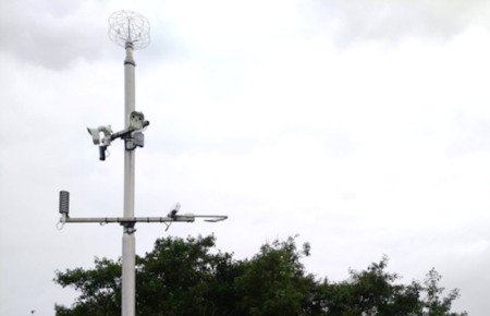
Iteris Inc., a leading US supplier of applied informatics systems for the transportation industry, is going to provide hyperlocal weather data to support critical road maintenance decisions on two key highways in New Jersey.
The New Jersey Turnpike Authority (NJTA) has selected Iteris and its ClearPath Weather software-as-a-service (SaaS) to provide weather forecasting services for improved winter road maintenance response covering 295 miles (475km) of tolled highways that run north-south across the state.
The three-year contract, which is renewable for an additional two years, will give the NJTA access to high-resolution pavement weather forecasting and treatment alternatives, and maintenance decision support system (MDSS) services, throughout both the New Jersey Turnpike and Garden State Parkway during winter weather events.
Iteris will also provide the NJTA with 24/7 access to ClearPath Weather’s severe weather advisories and alerting services, as well as direct access to Iteris meteorologists forecasting from the company’s Weather Operations Center in Grand Forks, North Dakota.
Iteris is a leader in the manipulation of big data, collecting, aggregating and analyzing massive amounts of information on traffic, roads and weather, to generate precise informatics that lead to safer and more efficient transportation networks. ClearPath Weather is based on Iteris’s Highway Condition Analysis and Prediction System (HiCAPS) pavement condition model and makes use of proprietary application programming interfaces (APIs) to access weather data.
Originally developed by Meridian Environmental Technology, a former Iteris meteorology and Earth sciences business unit, HiCAPS is the industry’s only model to take into account both the energy and mass of moisture, such as snow, rain, frost or dew, as it is deposited onto the road surface.
The cloud-based MDSS solution features an easy-to-use interface, and advanced visualization tools and mapping, which give state and local agency maintenance managers access to real-time information, such as looping radar, satellite imagery, weather forecasts, plow location, and route-specific weather and pavement conditions.
“Our ultimate goal is to keep road users safe and to achieve this we need the most accurate current and forecast weather and pavement information possible,” said Michael Mahon, superintendent of snow operations at the NJTA.
“By using ClearPath Weather as part of our MDSS operations, we can better address weather impacts across these two roadways, which are critical roads for both New Jersey and the entire north east.”
Jim Chambers, senior vice president and general manager for agriculture and weather analytics at Iteris, commented, “We are proud to support the NJTA’s goal of improving the safety and mobility of New Jersey’s road users by providing access to hyperlocal current and forecast weather data.
“With the winter months approaching, data insights from ClearPath Weather will allow the authority to make the best maintenance decisions possible, both on a day-to-day basis and after extreme weather or storm events.”


